Coconino National Forest
Sedona, Arizona · Southwest
How red rock quiets the self
Coconino is really several forests stacked by elevation. From the red rock country and canyons around Sedona, up the Mogollon Rim through ponderosa pine, to the volcanic cones and the alpine tundra atop Humphreys Peak, Arizona's highest point at 12,633 feet. The vertical range is the point. You are almost never looking at something small.
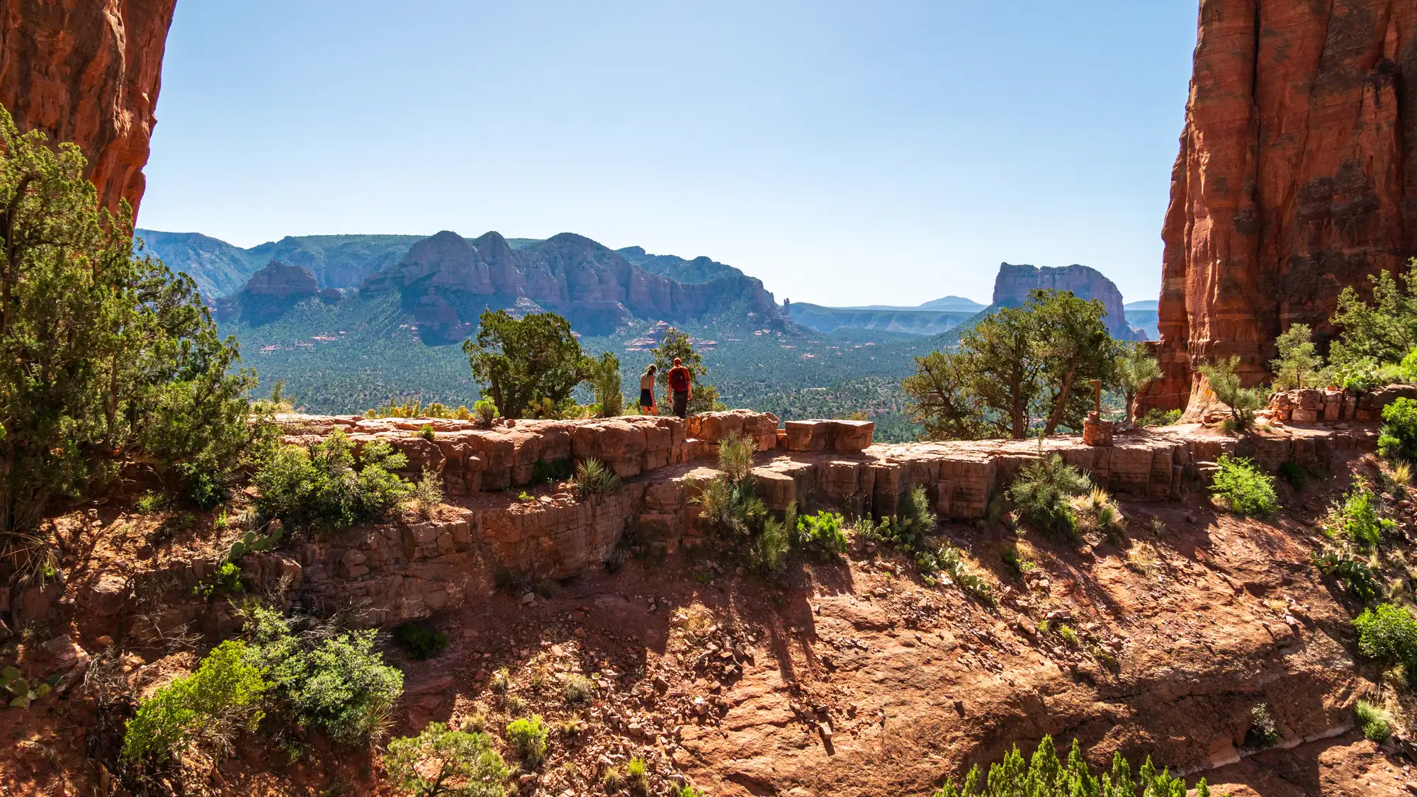
That scale is what does the work on a busy head. Standing under a red cliff or on a rim with a hundred miles of country in front of you, the running commentary about your own week gets quieter. Not because you told it to. Because there is suddenly something much bigger than you to look at.
You do not have to summit anything to get it. A short walk to an overlook, a quiet canyon like West Fork, or a first look at the San Francisco Peaks will do it. The forest hands you magnitude for free.
The science: Paul Piff and colleagues found, across a series of studies, that experiences of awe reduced people's self-focus and made them more generous toward others. What reliably triggered that awe was sheer physical magnitude, the sense of being in front of something vast. Red cliffs and volcanic peaks are exactly the kind of scale that sets it off.
Piff, Dietze, Feinberg, Stancato & Keltner (2015) · Journal of Personality and Social Psychology
Seasonal guide
Temperatures are NOAA 1991-2020 climate normals from WALNUT CANYON NM at 6,695 ft. A national forest spans a wide elevation range, so the high country runs cooler and holds snow later than the valleys. The season notes below tell you how to work each one.
At mid-elevation, highs sit in the mid to upper 40s and lows drop near 20, and higher-elevation roads often close from the first heavy snow in late December until mid-April. High-country campgrounds like Ashurst Lake are shut for the season. Lower red rock elevations stay milder and hikeable, and the peaks around Flagstaff open up winter sports, so pick your elevation to match what you want.
Highs climb from the mid 50s in March to around 70 by May at mid-elevation, with chilly nights still near freezing early on. This is the drying-out stretch, and peak fire season typically hits in May and June, so check for fire restrictions before you build a campfire. Lower elevations green up first while the high country still holds snow, making spring a good time to work your way uphill.
June is hot and dry with highs in the low 80s at mid-elevation, then the monsoon arrives July through September with heavy rain, wind, and afternoon lightning. Start hikes early, watch the sky, and get off exposed rock and peaks before storms build. The high country runs noticeably cooler, so climbing in elevation is the classic way to beat the heat here.
Fall is the sweet spot, with highs easing from the upper 70s in September to the mid 50s by November and crisp nights. Fall color peaks from late September into October, earliest at higher elevations. Days are warm and stable while nights get cold fast, so pack layers, and expect the first snows to start closing high roads by late in the season.
Don’t wait for Coconino National Forest.
One big trip a year isn’t what changes how you feel — the small stuff in between is. The 7-Day Nature Reset is one tiny outdoor practice a day, wherever you already are. Day one takes 60 seconds.
No spam. No noise. Just nature.
Day 1 is landing in your inbox right now — go say hi.
Sleep nearby
Places to stay around Sedona, Arizona. Pan the map to trade a shorter drive for a quieter night.
Camping inside the park books through Recreation.gov and is listed separately.
The map is provided by Stay22. If you book through it we may earn a commission at no cost to you, which helps keep Happier Outdoors running. It never changes what we recommend.
From the field
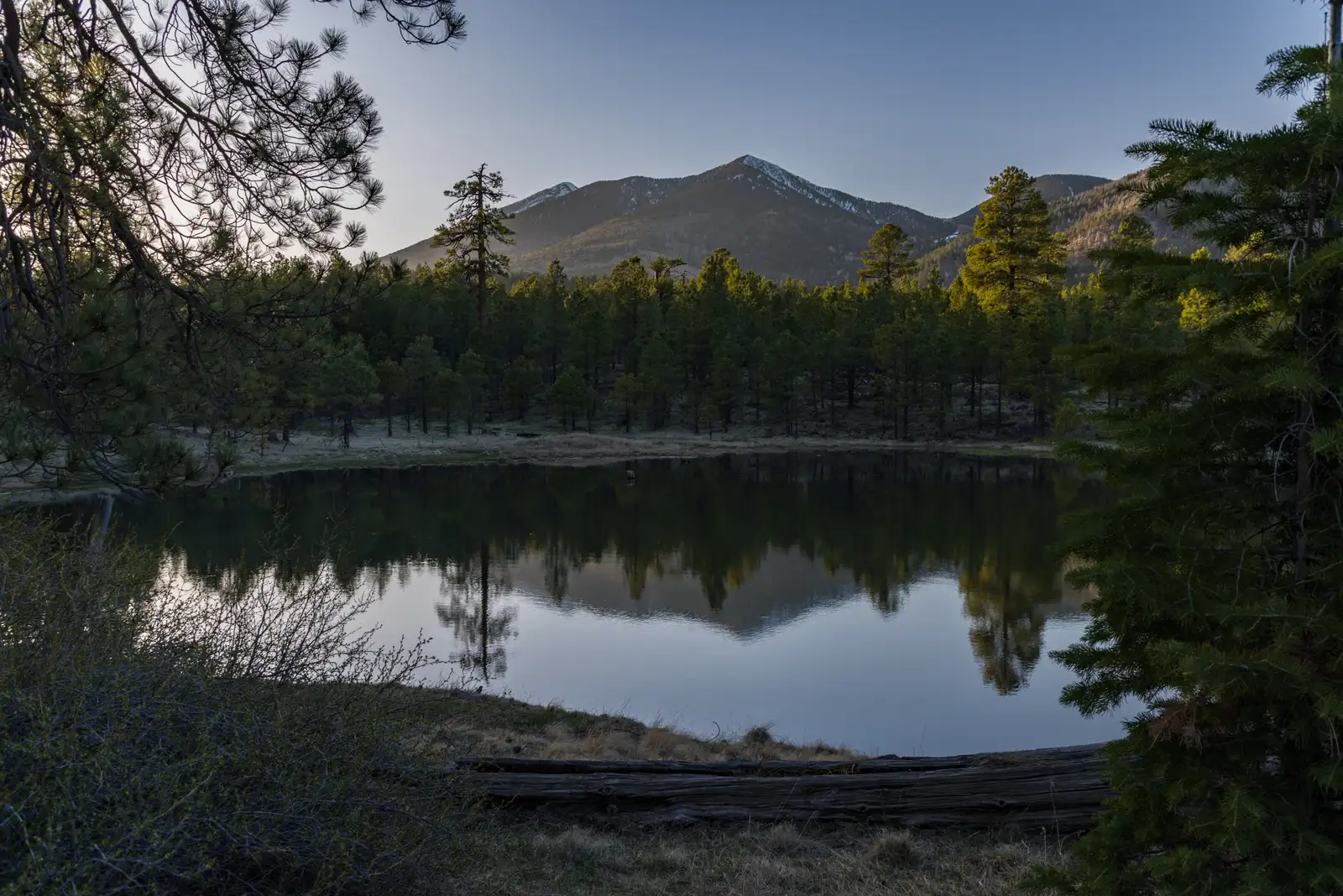
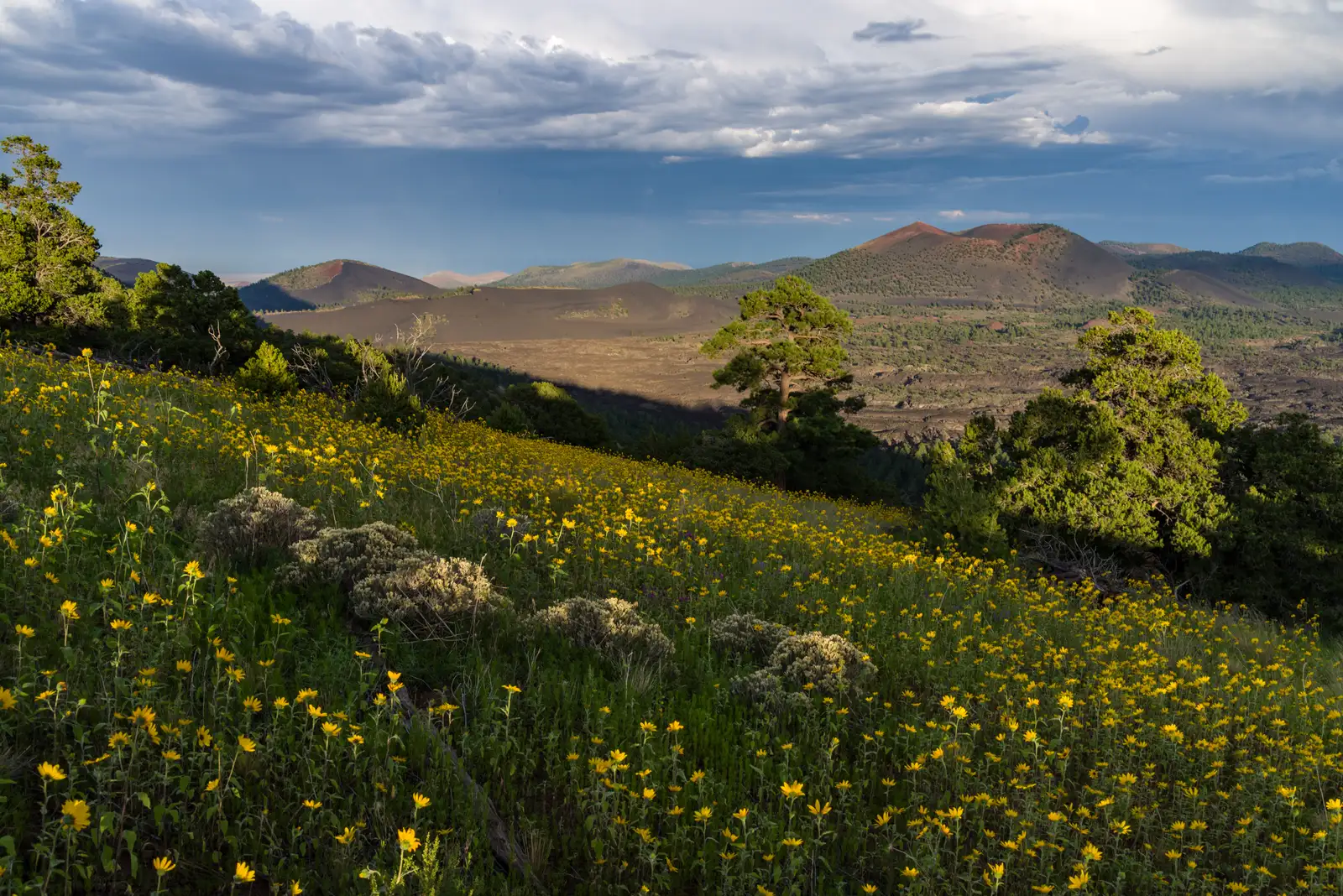
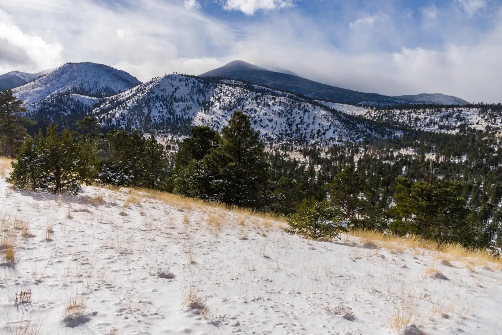
Photos: dconvertini (CC BY-SA 2.0), via Wikimedia Commons
Common questions
When is the best time to visit Coconino National Forest?
It depends on elevation, because the forest climbs from about 2,600 to 12,633 feet. At a mid-elevation point like the Walnut Canyon station near 6,695 feet, spring and fall are mild, with fall color peaking from late September into October. Summer highs sit in the low to mid 80s but bring monsoon storms from July through September, and winter closes some high-elevation roads and campgrounds.
Is Coconino National Forest dog-friendly?
Yes, dogs are allowed, but they must be on a leash at all times on the forest's listed trails, and owners must pack out pet waste. At campgrounds and day-use areas such as Ashurst Lake, Blue Ridge, Clear Creek, and Beaver Creek, pets must be restrained or leashed. Note that West Fork Trail is in a designated Wilderness area with its own restrictions.
What are some quieter trails in Coconino National Forest?
Several trails see far less traffic than Sedona's headline routes. Fisher Point near Flagstaff offers panoramic canyon views, Kendrick Park Watchable Wildlife Trail is a calm wildlife loop, and Secret Slickrock is a quieter alternative to the busy Bell Rock area. Longer, more rugged routes like Jim Bryant Trail in the Munds Mountain Wilderness and the Hot Loop stay empty because most visitors head for Cathedral Rock, Devil's Bridge, and West Fork.
Do you need a pass or permit for Coconino National Forest?
Many Red Rock area day-use fee sites require a Red Rock Pass or an America the Beautiful interagency pass. The Red Rock Pass runs $5 daily, $15 weekly, $20 annual, or $45 for the Grand Annual, which also covers concessionaire sites like Call of the Canyon, Crescent Moon Ranch, Grasshopper Point, and Beaver Creek. Separate permits are needed for things like Fossil Creek parking reservations, Soldier Pass motorized use, and firewood or Christmas tree cutting.
Can you camp in Coconino National Forest?
Yes, the forest has developed campgrounds plus dispersed camping in some areas. Developed sites like Canyon Vista, Pinegrove, Lockett Meadow, Ashurst Lake, Cave Spring, and Bonito are largely reservable through Recreation.gov, with typical single-site fees running about $27 to $34 a night. A Childs Dispersed Camping Area is also listed, though full forest-wide dispersed rules and stay limits are not established in the available sources.
Is Coconino National Forest accessible for wheelchairs and strollers?
Accessible options are limited and site-specific. Kendrick Park Watchable Wildlife Trail has a short loop paved for wheelchair access, while its longer loop is native surface on flat ground. Doney Trail No. 39 has paved access roads and a handicap parking space, but the trail itself is a standard terra trail to an overlook, and Apache Maid Cabin is explicitly not accessible.