Manti-La Sal National Forest
Moab, Utah · Southwest
Climbing out of the desert clears your head
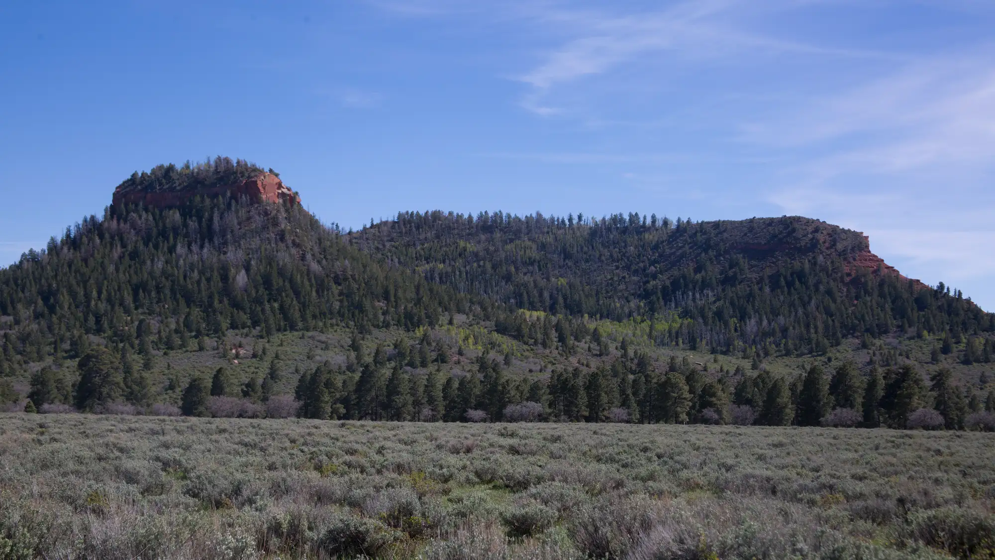
Manti-La Sal is the green mountain island that rises straight out of the red-rock country around Arches and Canyonlands. It climbs from roughly 5,000 feet up toward 12,000, carrying the timbered slopes and high lakes of the Wasatch Plateau and the La Sal Mountains over the surrounding desert. That vertical mile of relief is the whole point: cooler air, standing water, and shade where the canyon country below has none.
Most of the foot traffic near Moab funnels onto a handful of famous routes like the Whole Enchilada and Upper Porcupine Singletrack. The Forest Service points quieter visitors elsewhere, toward high, seldom-visited lines such as Tuerto Canyon, Robertson Pasture in the Abajo Mountains, Moonlight Meadows, and the forested walk from Warner Lake to Oowah Lake. These sit high and take longer to reach, which is exactly why they stay empty.
That distance from noise and demand is not just pleasant. It is close to what the research says a tired mind needs to reset, and this forest hands it to you the moment you gain elevation.
The science: Psychologist Stephen Kaplan argued that the focused attention we burn through all day is a limited resource, and that natural settings restore it largely by being away from the demands that keep draining it. Manti-La Sal offers that away-ness in a literal sense: the quiet alpine and canyon trails the Forest Service singles out sit high above the busy Moab corridor, far from the pull of traffic, screens, and to-do lists.
Kaplan (1995) · Journal of Environmental Psychology
Seasonal guide
Temperatures are NOAA 1991-2020 climate normals from CASTLE DALE at 5,629 ft. A national forest spans a wide elevation range, so the high country runs cooler and holds snow later than the valleys. The season notes below tell you how to work each one.
At the lower Castle Dale station near 5,600 feet, highs sit around 40F in December and January with lows in the low teens, and the high country is far colder and deep in snow. Most higher-elevation roads and campgrounds are snow-closed, so winter here is for snow-based recreation rather than driving to a trailhead. Bring cold-weather gear and check access before you go, because closures run well into spring.
The valleys warm quickly, with Castle Dale highs climbing from the upper 50s in March to the mid 70s by May, though nights still dip near freezing early on. Up on the plateau and in the La Sals, snowmelt and drifts keep many roads and campgrounds closed, with some areas not opening until April and others not reliably clear until late June. Plan lower-elevation outings early in the season and save the high lakes for later.
Low-elevation highs run hot, reaching the upper 80s to low 90s at Castle Dale in July, but the forest's real draw is that the high country stays much cooler and campgrounds like Buckboard are typically open May 1 through September 30. Fire-season operations run June 1 to September 30, and Stage 2 Fire Restrictions are posted from July 17 through October 31, 2026 unless rescinded, so check current fire rules before lighting anything. August also brings afternoon storms, the wettest month at the low station.
Fall cools steadily, with Castle Dale highs dropping from the low 80s in September to the low 50s by November and nights turning cold. High spots like Indian Creek Guard Station at 9,500 feet see weather concerns after September and close by mid-October, so aim early in the season for the upper elevations. Lower canyon country stays comfortable longer and makes a good late-season option.
Don’t wait for Manti-La Sal National Forest.
One big trip a year isn’t what changes how you feel — the small stuff in between is. The 7-Day Nature Reset is one tiny outdoor practice a day, wherever you already are. Day one takes 60 seconds.
No spam. No noise. Just nature.
Day 1 is landing in your inbox right now — go say hi.
Sleep nearby
Places to stay around Moab, Utah. Pan the map to trade a shorter drive for a quieter night.
Camping inside the park books through Recreation.gov and is listed separately.
The map is provided by Stay22. If you book through it we may earn a commission at no cost to you, which helps keep Happier Outdoors running. It never changes what we recommend.
Common questions
When is the best time to visit Manti-La Sal National Forest?
Summer through early fall is the widest window, since higher roads and campgrounds stay snow-closed through winter and into spring. Some high-elevation areas are not accessible until April, and others not reliably open until late June or even late July as snowmelt and drifts clear.
Is Manti-La Sal National Forest dog-friendly?
Yes, dogs are allowed, and the forest's campground rules require pets to be leashed in campgrounds. The available Forest Service sources do not set a forest-wide leash rule for trails or day-use areas, and they do not name any spots where pets are prohibited, so check posted signs where you go.
What are the quieter trails away from the Moab crowds?
The Forest Service points to lesser-known alpine and canyon routes that most visitors skip. Tuerto Canyon Trail, Robertson Pasture Trail high in the Abajo Mountains, Moonlight Meadows, and the forested Warner Lake to Oowah Lake and Oowah Lake to Clark Lake hikes are all described as peaceful and low-traffic, largely because they sit high and take longer to reach.
Do you need a pass or permit for Manti-La Sal National Forest?
No general entrance pass is required to enter the forest. A day-use fee applies only at Maple Canyon, where trailhead parking runs $5 per vehicle, and separate permits are needed for activities like cutting a Christmas tree or collecting firewood.
Can you camp in Manti-La Sal National Forest?
Yes, the forest has developed campgrounds with posted fees running roughly $5 to $50 per night depending on the site, plus dispersed camping away from designated grounds. Dispersed sites have no services or facilities, so the rules ask you to use established spots, camp within 150 feet of a Forest Service road, and pack out your own trash.