San Isabel National Forest
Leadville, Colorado · Rocky Mountains
Why camping here resets your clock
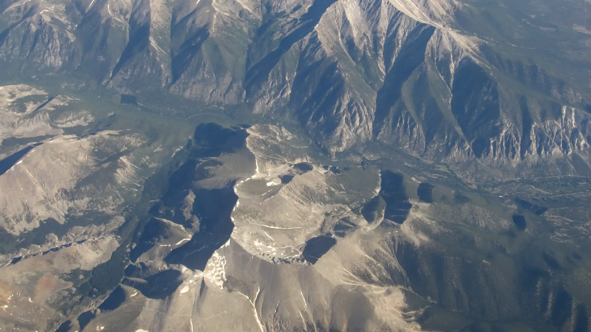
San Isabel is Colorado at its highest. It runs from around 5,000 feet up to 14,433 feet on Mount Elbert, the tallest peak in the state, and it stacks the Sawatch Range, the Collegiate Peaks, the Sangre de Cristo and the Wet Mountains into more than a million acres. Leadville, the base for much of it, sits near 10,000 feet.
This is camping country. There are 867 developed sites across the forest plus dispersed primitive camping in many areas, which means the usual way in is to sleep out here, not just day-trip. Up at this altitude the days are blindingly bright and the nights, once the fire dies, are genuinely dark.
That combination does something quiet to your body. Modern indoor life keeps you in dim light by day and lit screens by night, which drags your internal clock later and later. A few nights under real sun and real dark start to pull it back.
The science: Researchers who sent people on a week of tent camping in the Colorado mountains found their internal clocks fully synced to the sun: melatonin onset shifted about two hours earlier and their biological night lined up with sunset and sunrise. It was a small midsummer study, and camping also changes activity and screen time, so daylight is not the whole story. Still, San Isabel's high, bright days and dark camps are exactly the conditions that produced that full week-long reset.
Wright, McHill, Birks, Griffin, Rusterholz & Chinoy (2013) · Current Biology
Seasonal guide
Temperatures are NOAA 1991-2020 climate normals from LEADVILLE LAKE CO AP at 9,943 ft. A national forest spans a wide elevation range, so the high country runs cooler and holds snow later than the valleys. The season notes below tell you how to work each one.
At the Leadville station near 9,943 feet, highs sit around 29 to 31°F and lows drop to about 5°F, with snow across the high country. Some trails close December 1 through April 15 and some roads use winter motor-vehicle closures, so stick to lower elevations and plan on snowshoes or skis. The valleys near 5,000 feet run warmer than these high-country numbers.
Spring warms slowly at altitude: Leadville highs climb from the upper 30s in March to the mid-50s by May, with lows still near or below freezing. Late snow can delay high-altitude facilities and roads, so early season is best spent low while the peaks melt out. Lower valleys green up and open well before the Sawatch and Collegiate high country.
Summer is the prime window, with Leadville highs of 66 to 71°F and cool nights in the upper 30s, plus the wettest months as afternoon storms build in July and August. Fire restrictions are most likely now, and Stage 2 restrictions in 2026 ran June 30 through August 1 on multiple districts, so check current rules before any campfire. Start hikes early to be off high ridges before lightning.
Fall cools fast, with Leadville highs sliding from the low 60s in September to the upper 30s by November and nights dropping back below freezing. September is a strong month for high-country trips before snow returns and winter trail closures begin. Higher elevations chill and hold snow earlier than the warmer valleys.
Don’t wait for San Isabel National Forest.
One big trip a year isn’t what changes how you feel — the small stuff in between is. The 7-Day Nature Reset is one tiny outdoor practice a day, wherever you already are. Day one takes 60 seconds.
No spam. No noise. Just nature.
Day 1 is landing in your inbox right now — go say hi.
Sleep nearby
Places to stay around Buena Vista, Colorado. Pan the map to trade a shorter drive for a quieter night.
Camping inside the park books through Recreation.gov and is listed separately.
The map is provided by Stay22. If you book through it we may earn a commission at no cost to you, which helps keep Happier Outdoors running. It never changes what we recommend.
From the field
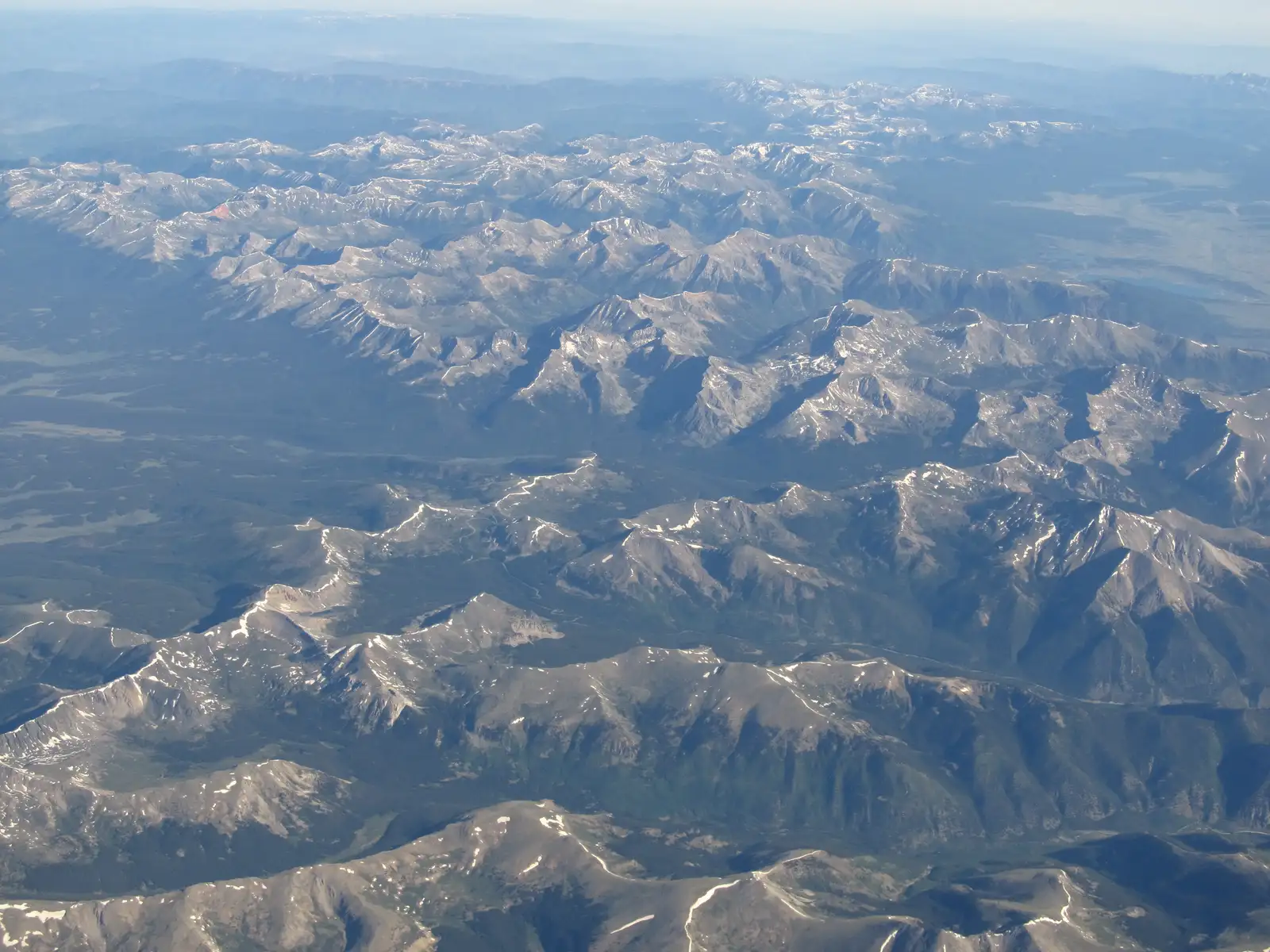
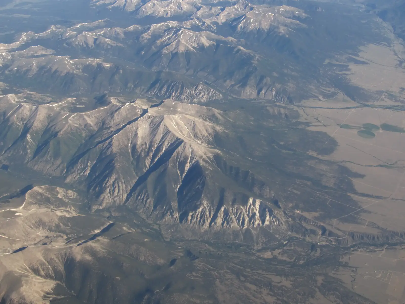
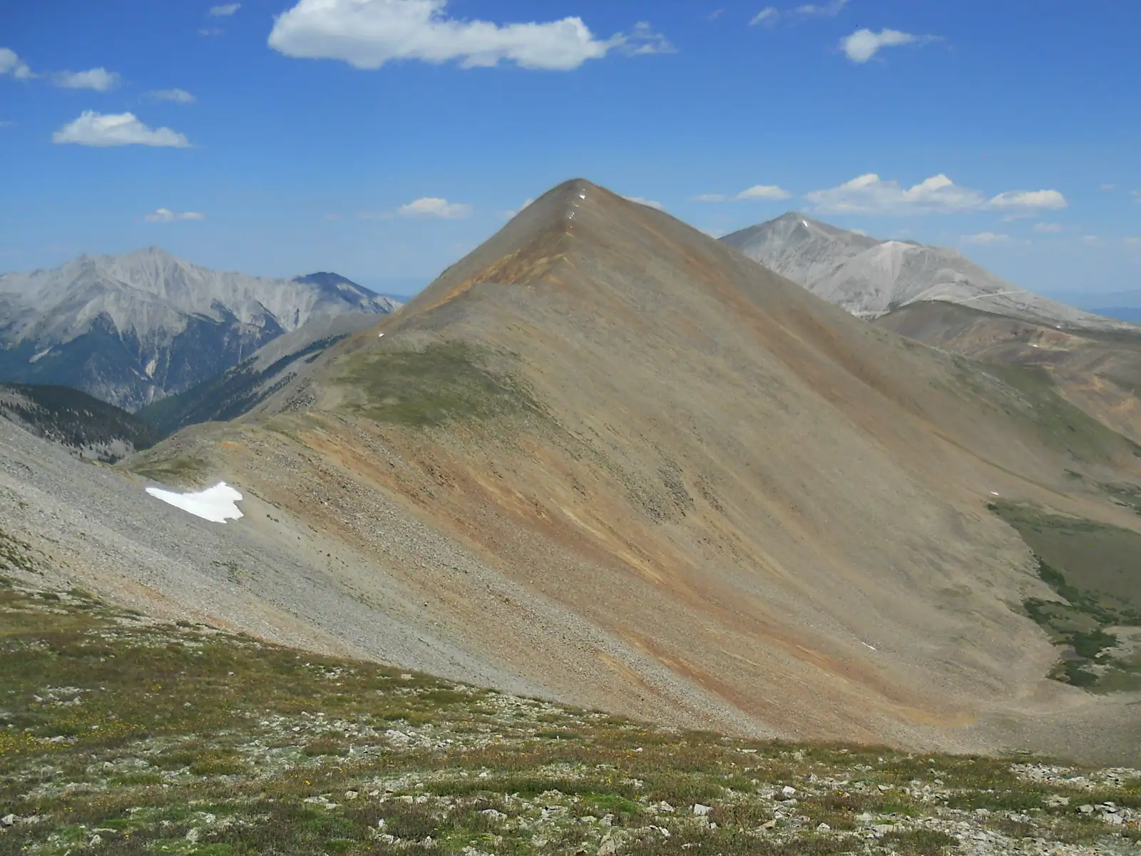
Photos: Ken Lund from Reno, Nevada, USA (CC BY-SA 2.0), via Wikimedia Commons ; Ken Lund from Reno, Nevada, USA (CC BY-SA 2.0), via Wikimedia Commons ; Ken Lund from Reno, Nevada, USA (CC BY-SA 2.0), via Wikimedia Commons ; John Sowell (CC BY-SA 4.0), via Wikimedia Commons
Common questions
When is the best time to visit San Isabel National Forest?
Summer, roughly June through September, is the most reliable window because that is when high-elevation roads, trails and facilities are open. Some high trails close December 1 through April 15 or on similar winter dates, and late spring snow can delay high-altitude facilities, so lower elevations open first.
Is San Isabel National Forest dog-friendly?
Yes, dogs are welcome, but they must be leashed in developed recreation sites, campgrounds and day-use areas. In wilderness areas a leash of no more than 6 feet is required, and pets are not allowed in swimming areas except guide dogs.
Where can I find quieter trails and times?
Winter and the shoulder seasons are generally the quietest, since snow limits access to much of the high country. The Forest Service notes summer is the busiest period at popular spots such as Greens Creek Trail and Lake Isabel, so plan those for weekdays or off-season if you want more solitude.
Can you camp in San Isabel National Forest?
Yes, through both developed campgrounds and dispersed primitive camping in many areas. The forest has 867 developed sites across campgrounds like White Star, Lakeview, Baby Doe and Molly Brown, most of which are reservable on Recreation.gov.
Do I need a pass or permit, and what does it cost?
There is no entrance fee for the Pike-San Isabel National Forests, but fees apply in developed fee areas. Developed campgrounds run roughly $11 to $60 per night depending on the site, and the Lake Isabel day-use area charges $10 per vehicle in summer unless you are registered in the campgrounds.
Is San Isabel National Forest accessible for wheelchairs?
Some sites are, though it varies by location. Vogel Canyon Picnic Area has a wheelchair-accessible 1-mile Overlook Trail loop, and Mount Princeton Campground has wheelchair-accessible vault toilets and picnic tables, while the Rainbow Trail at Hayden Creek is described as not universally accessible.